


The nature of Azerbaijan


 About this lesson
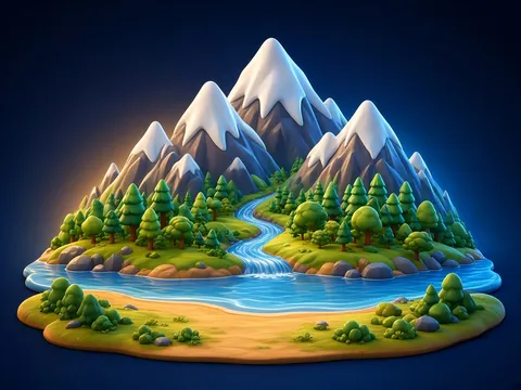
Azerbaijan’s nature is very varied. To the east lies the Caspian Sea, the largest enclosed body of water in the world. The Greater Caucasus mountains stretch across the north, the Lesser Caucasus in the west and the Talysh Mountains in the south-east. The highest peak is Bazarduzu in the Greater Caucasus (about 4,466 m). The longest river is the Kura, and the Araz (Aras) joins it. Between them lies the wide Kura-Araz Lowland. In the Lesser Caucasus there is the beautiful Lake Goygol. In Gobustan you can see mud volcanoes and ancient rock carvings. The mountains have forests and meadows, and the lowland has dry plains.
 What the book shows

The textbook usually gives a big picture, questions and a small observation or project task. Talk about the picture, link the questions to everyday life and carry on the observation at home.
Textbook link:
This is not the textbook’s text but a short description of the topic. Check the exact page in your own textbook.
 The lesson step by step
- 1
Warm-up5 min
Travel photos.
- 2
New topic10 min
Sea and mountains.
- 3
Practice10 min
Rivers and lakes.
- 4
Game10 min
Finding them on a map.
- 5
Wrap-up5 min
Let’s protect it!
 Let’s understand
For the student Simple language
| Feature | Where? | One fact |
|---|---|---|
| 🌊 Caspian Sea | east | the world’s largest enclosed body of water |
| 🏔️ Greater Caucasus | north | Bazarduzu is the highest peak |
| ⛰️ Lesser Caucasus | west | home to Lake Goygol |
| 🏞️ Kura and Araz | centre and south | the Kura is the longest river |
| 🌋 Gobustan | south-west of Baku | mud volcanoes, rock carvings |
 For the parent
How to help
- Find places your family has visited on a map together.
- Tell your child about a trip to the mountains, the sea or a river and look at photos.
 For the teacher
 Lesson goals
- Show Azerbaijan’s main natural features on a map (the Caspian Sea, mountains, the Kura and Araz rivers, Lake Goygol) and tell mountain, plain and coast landscapes apart.
How to teach it
- Observation, picture talk, group work, mini-project
 Differentiation
- Weaker pupils: with pictures and cards; stronger pupils: find an extra fact and tell the class
 Questions for the class
- Why is Azerbaijan’s nature so varied?
 How to check
The pupil shows the main features on a map and tells mountain, water and lowland landscapes apart.
 Scientific Scientific language
Mud volcanoes
Gas and mud come up from underground and build small hills; they are not fire-breathing volcanoes.
Sea or lake?
The Caspian isn’t joined to the ocean, so scientists also call it a giant enclosed lake.
Self-study
Step by step
- I can show the Caspian on a map.
- I can tell the Greater and Lesser Caucasus apart.
- The Kura is the longest river.
- I can name a protected place.
Going deeper
 Scientific language: for older students, parents and teachers.
In a single day you can travel from the seaside to the foot of snowy mountains: such variety in a small country is a great natural treasure.
 Play and check
Is it mountains, water or lowland?
 How to write it down
- Draw a simple map of Azerbaijan showing the Caspian, the mountains and the Kura.
- Add a north arrow and a key.
How the classwork looks in the notebook
Sample: the date and heading follow this country’s notebook rules.
 Watch out: common mistakes
 Where it helps in life
- Climate and weather
- Plants and animals of Azerbaijan
 At home
Core
- Write 4 sentences about one natural place in Azerbaijan and draw it.
Extra ⭐
- Show where it is on a map.
How to do it
- Observe at home or talk with an adult.
- Write or draw what you found.
Answers for parents
For example: Lake Goygol is in the Lesser Caucasus. Its water is very clear and blue. Forests surround it. The lake is protected in a national park.
Step-by-step homework solution — Show the solution (try it yourself first)
Think
- The higher you climb, the colder it gets: orchards below, then forests and meadows, and rocks and snow at the top.
How the homework looks in the notebook
Sample: the date and heading follow this country’s notebook rules.

 About cookies