


The parts of the grid

 About this lesson
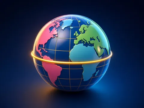
To give the exact position of a point on the Earth’s surface, globes and maps carry a grid of imaginary lines. Its main parts are meridians and parallels. Meridians are lines joining the North and South Poles; they show the north–south direction and are all the same length. The prime (zero) meridian passes through the Greenwich observatory near London. Parallels are circles drawn parallel to the equator; they show the west–east direction. The longest parallel is the equator, which divides the Earth into the Northern and Southern Hemispheres and is about 40 thousand km long. Towards the poles the parallels get shorter. The prime meridian and the 180th meridian opposite it divide the Earth into the Western and Eastern Hemispheres. Latitude is the distance north or south of the equator to a point, given in degrees. It runs from 0° (the equator) to 90° (a pole): north of the equator it is north latitude (N), south of it south latitude (S). All points on the same parallel have the same latitude. Longitude is the distance east or west of the prime meridian to a point, given in degrees. It runs from 0° to 180°: east longitude (E) and west longitude (W). All points on the same meridian have the same longitude. Latitude and longitude together are a point’s geographic coordinates. For example, Baku lies at about 40° N, 50° E. To find coordinates, first work out which parallel the point is on (or which two it lies between), then which meridian. Along a meridian 1° is about 111 km, so if you know the difference in latitude between two points you can work out the distance between them.
 What the book shows

In grade 6 the Geography course begins with geographic space: plans and maps, the latitude and longitude grid, fieldwork, the movements of the Earth and the parts of nature. Read the topic in the textbook, work with an atlas and a globe, and make observations around the school grounds.
Textbook link:
This is not the textbook’s text but a short description of the topic. Check the exact page in your own textbook.
 The lesson step by step
- 1
Warm-up5 min
A globe covered in lines.
- 2
New topic10 min
Meridians and parallels.
- 3
Practice10 min
Latitude and longitude.
- 4
Game10 min
Finding coordinates.
- 5
Wrap-up5 min
Distance in degrees.
 Let’s understand
For the student Simple language
| Part | What it shows |
|---|---|
| meridian | north–south; longitude |
| parallel | west–east; latitude |
| equator (0° latitude) | Northern and Southern Hemispheres |
| prime meridian (0° longitude) | Greenwich; Western and Eastern Hemispheres |
 For the parent
How to help
- Find your home’s coordinates in a phone map app, then look for the same latitude and longitude on a globe together.
 For the teacher
 Lesson goals
- Recognise meridians, parallels, the equator and the prime meridian, work out latitude and longitude, find a point’s coordinates on a globe or map, and find a point from its coordinates.
How to teach it
- Working with maps and globes, observation, practical measuring, modelling, discussion
 Differentiation
- Weaker pupils work with pictures, models and ready-made diagrams; stronger pupils do map calculations and write their own conclusions
 Questions for the class
- How would a ship at sea report its position without the grid?
 How to check
The pupil names the parts of the grid, works out latitude and longitude, finds a point from its coordinates and calculates distance from a difference in degrees.
 Scientific Scientific language
Greenwich
In 1884 an international conference adopted the meridian through Greenwich as the prime meridian.
The Earth’s size
The ancient Greek scholar Eratosthenes estimated the Earth’s circumference from the shadows the Sun cast in different cities.
Self-study
Step by step
- I can tell meridians from parallels.
- I located the equator and prime meridian.
- I found geographic coordinates.
- I worked out a distance in degrees.
Going deeper
 Scientific language: for older students, parents and teachers.
Along a parallel, 1° of longitude changes length with latitude: about 111 km at the equator, shrinking towards the poles and reaching zero at a pole.
 Play and check
Latitude or longitude?
 How to write it down
- Find the coordinates of Moscow, Cairo and Beijing in an atlas.
- Work out the distance between 40° N and 50° N.
- Draw the grid and label its parts.
How the classwork looks in the notebook
Sample: the date and heading follow this country’s notebook rules.
 Watch out: common mistakes
 Where it helps in life
- How maps are made
 At home
Core
- Make a coordinates “treasure hunt”: choose 5 cities, write their coordinates and let a friend find them.
Extra ⭐
- Write 3 countries crossed by the equator and 3 by the prime meridian.
How to do it
- Find the matching map in your atlas.
- Explain what you learned to a grown-up.
Answers for parents
50° − 40° = 10°; 10 × 111 km ≈ 1110 km.
Step-by-step homework solution — Show the solution (try it yourself first)
Working it out
- Two cities lie on the same meridian, one at 30° N and the other at 45° N. The distance between them: 45° − 30° = 15°; 15 × 111 ≈ 1665 km.
How the homework looks in the notebook
Sample: the date and heading follow this country’s notebook rules.

 About cookies